TAPCOP: Traffic AI Prediction of Common Operational Picture
A one-stop solution for multi-modal mobility management


Mobility is a cornerstone of modern society, but cities across the world face daily challenges caused by congestion and overcrowding. When the capacity of public spaces is exceeded, the result is a breakdown in traffic flow, increased travel times, rising pollution, safety risks, and general discomfort for citizens. In the USA alone, it is estimated that traffic gridlock will cause an economic loss of USD 186 billion by 2030. Current countermeasures, such as traffic signs, detours, or on-site personnel, are often reactive and insufficient.
The TAPCOP project (2022–2026) addresses these issues by enabling advanced situational awareness and data-driven management of mobility flows. By fusing multiple data sources with AI-powered predictions, TAPCOP provides authorities with the tools to prevent congestion before it occurs and deliver real-time, proactive guidance to the public.
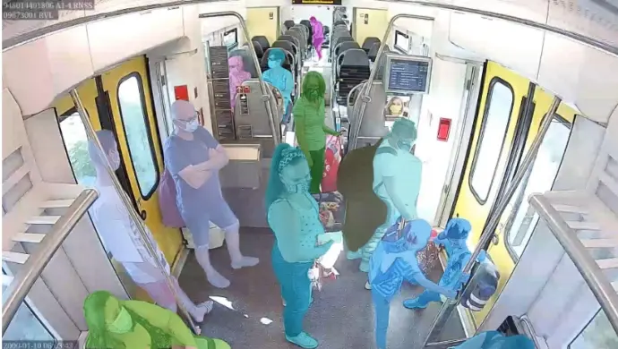
TAPCOP (Traffic AI Prediction of Common Operational Picture) is an ITEA research project that leverages AI-based sensors, secure multi-modal data fusion, and predictive analytics to monitor, forecast, and manage the movement of vehicles, pedestrians, bicycles, and public transport. The system provides authorities and stakeholders with a single dashboard that visualises the mobility situation in real time, predicts future developments, and suggests possible interventions. Importantly, TAPCOP extends beyond the control center: it also communicates directly with travellers pre-trip, on-trip, and on-site through social media, navigation systems, and mobile applications, helping people make smarter and more sustainable travel choices.
Urban authorities face recurring difficulties in managing congestion, preventing pollution and safety incidents, and influencing traveller behaviour. Traditional methods are largely reactive and limited to the physical environment—road signs, rerouting, staff deployment—without fully integrating predictive and digital solutions. TAPCOP closes this gap by providing insights, predictions, and control mechanisms to prevent mobility issues and overcrowding before they arise.
The project introduces a multi-layered approach: collecting real-time information across all transport modes, aggregating it into a privacy-aware operational picture, using AI to forecast mobility trends, recommending targeted interventions, and delivering personalised travel advice to the public. This holistic solution ensures that both authorities and citizens are better equipped to avoid bottlenecks and reduce the risks associated with congestion.
TAPCOP’s impact will be significant: a reliable view on current mobility, accurate short-term predictions of how situations will evolve, and proactive communication tools that empower both stakeholders and travellers. Each module is AI-driven and adaptive, improving over time as it learns from new data and scenarios. Potential beneficiaries include road authorities, municipalities, police forces, and event organisers managing large gatherings such as concerts, festivals, or football matches.
By delivering a one-stop mobility management solution, TAPCOP also contributes to the rapidly growing Mobility-as-a-Service (MaaS) market, projected to rise from USD 3.3 billion in 2021 to USD 40.1 billion by 2030.
TAPCOP brings together five partners from Belgium and Spain, combining expertise in AI, mobility, and innovation:
- Belgium:

- Spain:
By merging cutting-edge AI, multi-modal data fusion, and proactive traveller engagement, TAPCOP is set to transform the way cities manage mobility. The project’s results will provide authorities with the insights and tools they need to predict, prevent, and manage congestion and overcrowding in real time, making urban spaces safer, healthier, and more sustainable.
Project duration: October 2022 – April 2026
Project leader: Geert Vanstraelen, Macq, Belgium
Funded by:


